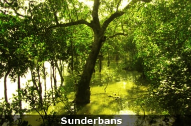
A new study about the forest cover in India’s Sunderbans reveals that the mangrove forest cover in the Indian Sunderbans has been depleting alarmingly over the past few decades.
The data was obtained using Remote Sensing and Geographic Information System (GIS).
The study was published in a publication by the School of Oceanographic Studies, Jadavpur University.
The study revealed that from 1986 to 2012, more than 124 sq.km of mangrove forest cover was lost.
The total forest cover of the Indian Sunderbans as assessed by remote sensing studies for the year 1986 was about 2,246.839 sqkm, which gradually declined by 2,201.41 sqkm in 1996.
It then further decreased to 2168.914 sqkm in 2001 and then to 2122.421 sqkm in 2012.
The loss in the mangrove forest in the Indian Sunderbans in percentage terms is about 5.5 %.
The study also points to the mean sea level rise at the Sagar Island Station.
This can be considered as a driving factor for coastal erosion, coastal flooding and an increase in the number of tidal creeks.
The continuation of this process in response to climate change and sea level rise poses a serious threat to the carbon sequestration potential and other ecosystem services of this mangrove forest in future.
The loss in mangrove cover at Gosaba has been about 20 percent, down from 517.47 sqkm in 1986 to 506.691 sqkm in 2012.
In Dulibhasani West, the loss of mangrove cover has been about 9.7 percent from 180.03 sqkm. in 1986 to 163.475 sqkm in 2012.
The mangrove forest cover of Dalhousie, another island, has depleted by 16%, from 76.606 sqkm. in 1986 to 64.241 in 2012.
One of the highest losses has been in Bhangaduni, where the mangrove forest cover has gone down by 37 percent from 40.4 sqkmb in 1986 to 24.9 sqkm in 2012.
Jambudwip, one of the smallest uninhabited islands, also has reduced forest cover by about 10 percent from 6.095 sqkm in 1986 to 5.003 sqkm in 2012.
Other islands like Sajnekhali North, Matla and Bulchery have also suffered significant mangrove loss.
Causes for Erosion- Because there is less fresh water flow and sediment supply in the western (Indian) part of the delta, because of which there is starvation of sediment and the rate of sea level rise is higher than sediment supply.
- A minimal inflow of water is required for a bountiful growth of mangroves.
- When freshwater inflow is missing, there is a change in mangrove succession and freshwater-loving species of mangroves are replaced by salt-water loving ones, which will in turn impact the fishing community, as then commercially viable fish will be replaced by fish that does not have as much market value.